Return of Monsoon Moisture and what is Dry Lightning?

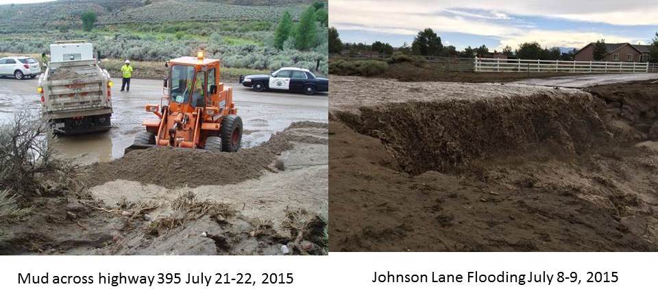
Hey all! Looks like we are transitioning into a more active thunderstorm pattern once again. High pressure over the desert southwest will bring above normal temperatures for the next few days. Increasing moisture and instability will bring chances for thunderstorms Friday through Monday, mainly for the Sierra and for far western Nevada. Gusty outflow winds and lightning fire starts are the main concerns for Friday and Saturday with locally heavy rain possible by the weekend. Just to be clear though, this monsoon push will not be like the one we experienced earlier in July. Although there could be some localized flooding we are not expecting multiple areas of flash flooding. Why? The moisture associated with this southeasterly flow will not have remnants of a tropical storm with it (Dolores in early July) and moisture doesn't appear to stick around as long as last time. It looks like southwesterly flow should return by sometime next week which will really dry out th...
