Meet your Mets: Meteorologist Heather
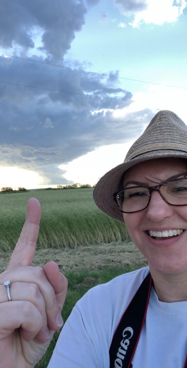
We have had quite a few meteorologists and staff come and go over the years, so we figured it was time to introduce you to some of the newer forecasters. Heather has been working with us at NWS Reno since mid August and is quickly familiarizing herself with the quirks of eastern Sierra and Nevada weather. Welcome to Heather! Heather first became interested in meteorology as a child growing up in Michigan, witnessing many storms, floods, and winter events. Her family lived along a river in a flood zone, and had three separate occasions of complete inundation of their house. Her undergraduate degree in meteorology (Central Michigan University) and Master’s degree in geography (Ball State University) allowed her to study the hydrological and meteorological relationships responsible for the flood events that led to the inundations. Heather used GIS, hydrology, and meteorology to model flood behavior for flooding related to frozen versus unfrozen soil conditions. She was s...

