Windy Week Ahead
 |
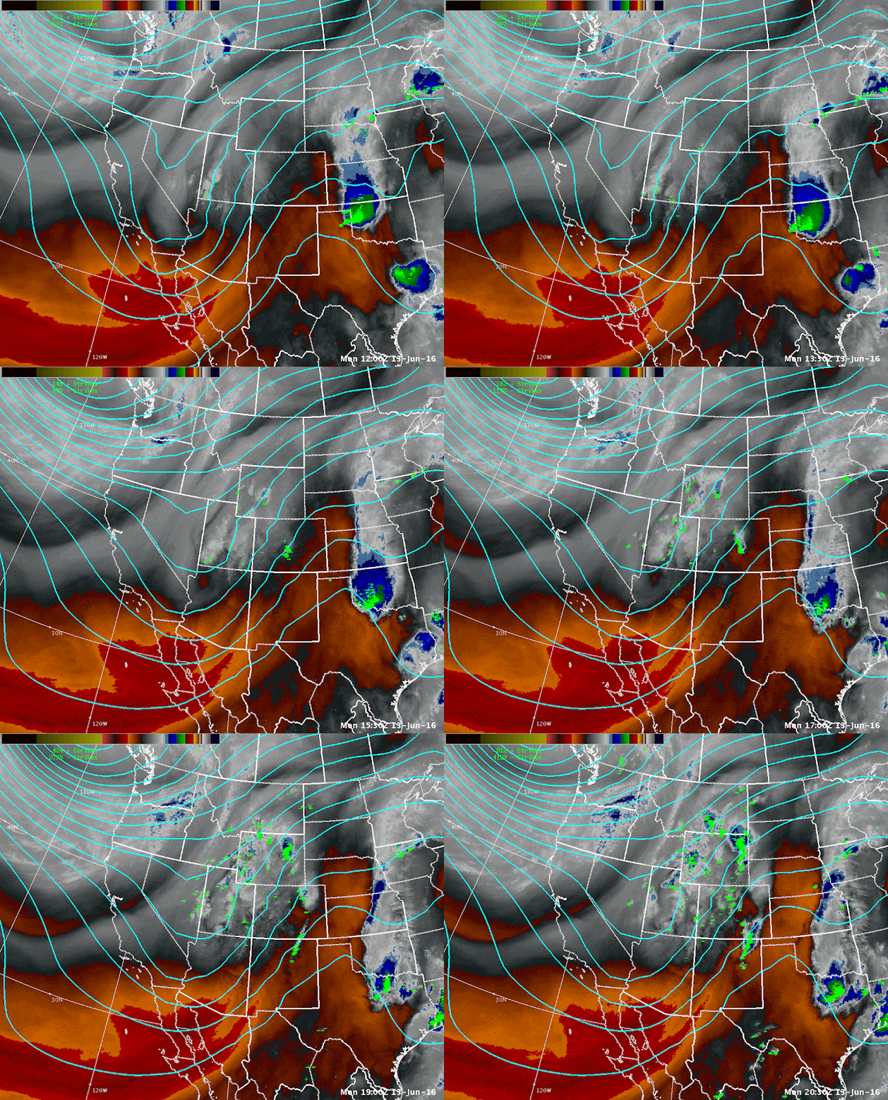
| Water vapor satellite imagery from June 13th. |
 |
| Webcam photos are from June Mountain (~9,200 ft), Mammoth Mountain Main Lodge (8900 feet), and Mammoth Sesame Snow Study (9014 feet). |
Here is the latest GFS simulation of the jet stream (images courtesy of TropicalTidbits.com) through Thursday afternoon. Notice the trough pushing into the Pacific Northwest with the jet dropping south into the Sierra and western Nevada. This jet stream along with tightening surface temperature and pressure gradients will allow the winds to increase across the region for Tuesday and Wednesday afternoon.
Computer simulations are showing wind gusts increasing to around 30 to 40 mph for Tuesday afternoon and then increasing further to up to 50 mph Wednesday afternoon as the cold front is forecast to push though the area. Ridge winds will be between 50 to 70 mph for mid week as well. While wind gusts like this are not unheard of during the summer, they do cause for some concern when it comes to outdoor enthusiasts in general; including, but not limited to hikers, fishers, cyclists, fire folks, and boaters.
The primary impacts from these winds will be choppy lake conditions and increased fire danger. Let's first address the lake conditions, and when we say "the lake" that can be any lake from Lassen county down to Lake Tahoe, to Mono Lake or even out east to Pyramid Lake. Our forecast area covers all those areas. There are currently Lake Wind Advisories out for area lakes, and if you plan on being at any lakes this week then you should be carefully looking over that product. Another page that you can look at for information is the NWS Reno Lake Forecasts website where you can see current observations at Lake Tahoe and Pyramid Lake, as well as the forecast wind speeds, wind gusts, and the wave heights.
All very important information if you plan on recreating at the lakes. Conditions can change rapidly, so being prepared is crucial. ALWAYS wear your personal flotation device when out on the lakes, especially if you are kayaking or paddle boarding. There have already been incidents on Lake Tahoe this year and you don't want to become part of that statistic.
For official weather forecast information please go to www.weather.gov/reno


